Series · in progress
The Umber Cycle
Alien worlds and genetics, charted by an expedition that does not yet know what the survey costs. Every world you can survive on is a world you are already changing.
The Umber · The Scatter
Charted by Surveyor L. Varen, 7th Expeditionary Survey. All bearings magnetic. May the Path Hold.
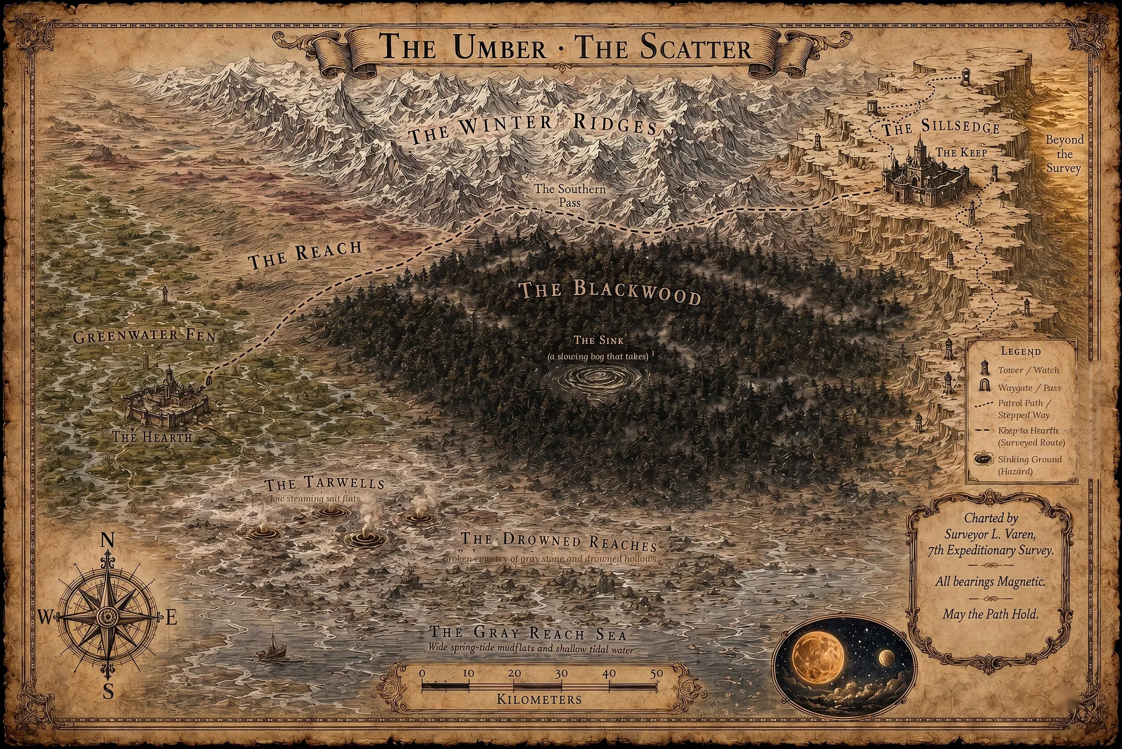
Where this is
Twelve light-years from Earth, in close orbit around an orange dwarf whose light is the reason everything in the Umber runs dark and amber.
Drag to pan · scroll to zoom · click a star to fall into it
Open the whole chart — one sky, three shelves.
- The Winter Ridges
- The Southern Pass
- The Reach
- The Blackwood
- The Sink
- Greenwater Fen
- The Hearth
- The Sillsedge
- The Keep
- The Tarwells
- The Drowned Reaches
- The Gray Reach Sea
- Beyond the Survey
The Iron Rule of Survival
Elpis life arose independently and uses the opposite chirality — mirror-image sugars and proteins. Everything else in the series follows from that one fact.
Most native tissue is nutritionally inert to a human body, and some of it is chemically toxic. A starving survivor surrounded by lush food can still starve. So the finite Earth rations and seed stock from the escape pods are the only reliable calories on an entire planet — which makes food hoardable, controllable and lethal, and makes a man who holds a ration cache a man who holds people.
There is a mercy folded into the same rule. Native microbes are equally mismatched to human biochemistry, so they infect us poorly. Elpis is not a disease world: filtered water is drinkable and a cut will not usually rot. The threats left are starvation, poison, cold, injury, and each other.
Two narrow loopholes keep hope alive. A handful of convergent species happen to carry Earth-compatible sugars — the botanists' grail. And fats and oils are far less handed than sugars, so rendered tallow, oily roe and fat-rich seeds are metabolizable even when the meat around them is not.
Read from the Otherworld Story Bible, where this rule is marked load-bearing.
The game
Each teaches the one mechanism its book is actually about, and ends by saying what the model simplified.
-
Ashfall
The Iron Rule
A world can be lush and still be a desert to you. Calories are not a property of a place — they are a property of the match between a place and the body that arrived, and the only thing you can eat is the thing you brought.
Play it
The cast
Where a reference sheet exists, the name shows the face.
- Ezra Cole Former army scout — recon officer with an engineering degree, cross-trained in demolitions and long-range reconnaissance. Boarded the Halcyon to erase himself, not to build anything.
- Wren Field botanist and ethnobotanist. Reads the living world Ezra cannot, keeps them from eating poison, and is hiding something.
- Marek Doss “The Warden.” Holds the food, and therefore holds everyone.
- Kwan The true believer, who bends a half-remembered scripture to sanctify the Warden's authority.
- The Custodian The Halcyon's shipboard AI. Its voice went “flat and strange in the last seconds.”
The books
Jacket copy, the opening pages, and where to buy it.
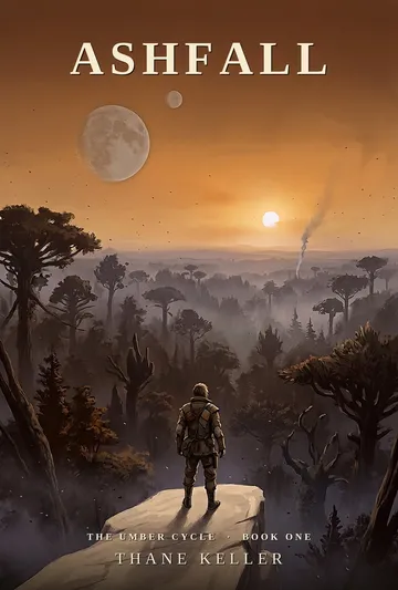
Art
The canon plates. Draw from these and your piece will look like it belongs beside them.
Scenes
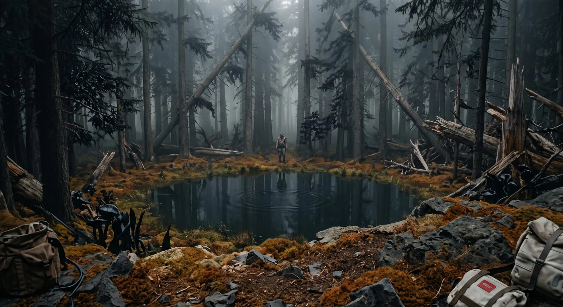
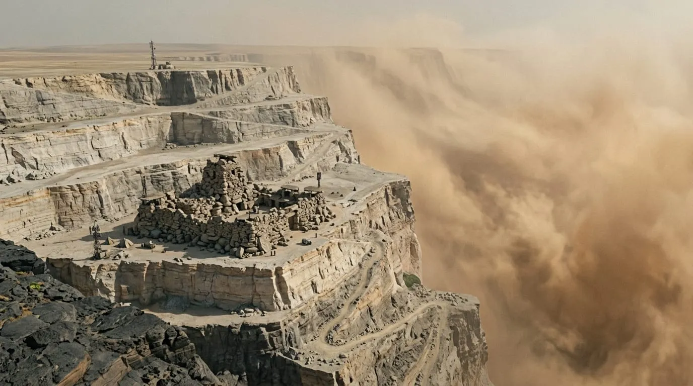
Reader gallery
Loading the gallery…
Submit a piece
The brief
- Anything except passing off someone else's work. Traced, AI-laundered or reposted art gets declined — the credit line has to be true.
- You keep your copyright. Submitting grants permission to show the piece here with your name on it, and you can withdraw whenever you like.
- Under 16 needs a guardian's say-so, and they confirm by clicking a link.
- Everything is read by a person before it appears. Nothing goes up automatically.